
Ever wanted to check out every single piece of the city’s art in public places, but never knew where to find it all? Well, a new mapping application has you covered.
The city announced this week the Art in Public Places application is now available to the public. Developed in-house by Heidi Alther, St. Albert’s visual arts co-ordinator, and Tammy Kobliuk, St. Albert’s Geographic Information Systems (GIS) co-ordinator, the website offers a map of every single piece of public art, as well as photos of each work and additional information on each piece.
“It’s an easy way for the public to see a lot of the available outdoor art that they can go and see,” Kobliuk said. “I bet most people don’t know the number of outdoor installations we have. I know I certainly didn’t.”
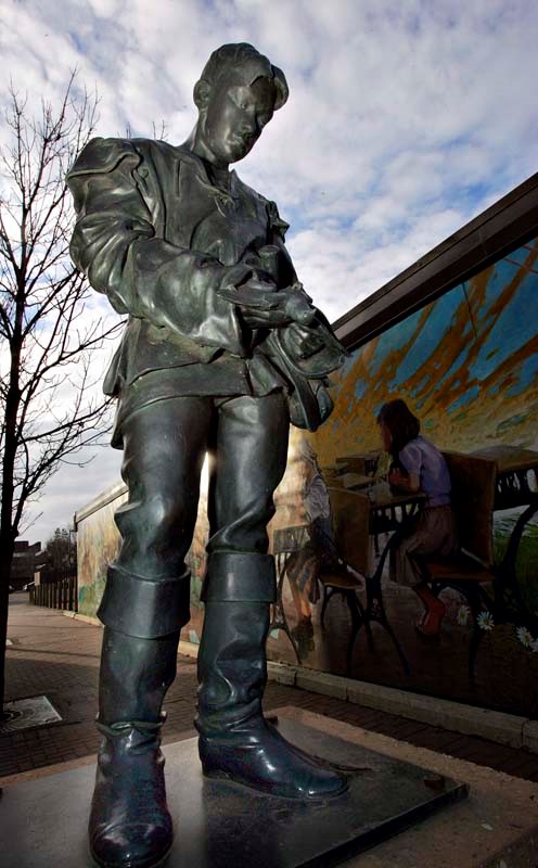
The city’s collection includes 30 pieces. The mapping program is the first of its kind in the region and was built late last year in conjunction with Landscape, an interactive mapping application that allows people to research property values, mill rates and even distances.
Landscape was made public last week.
Kobliuk said the art application makes the city’s collection more accessible to residents and visitors.
“There’s more information in the application than at the sites themselves,” Kobliuk said.
The site will also make it easier for the city to conduct maintenance on each piece, as well as educate the public about the fact that it, and not the city, owns the art. The city also hopes it will help reduce vandalism on its public pieces.
“Through this interactive mapping software, the city’s Art in Public Places collection is within reach of everyone, anywhere and at any time,” said Kelly Jerrott, the city’s director of cultural services, in a news release. “We are able to engage individuals in a way that we have not been able to before.”
These same pieces will be getting another high-tech touch-up in the near future too as the city approved in the 2013 budget a plan to place quick response (QR) codes at each site, making it easier for visitors to access more information about each piece using their smartphones.
Other GIS projects that will be rolled out soon include an interactive map of all the city’s planned capital projects for 2013 and a second map that will show all of St. Albert’s recreation facilities.


